
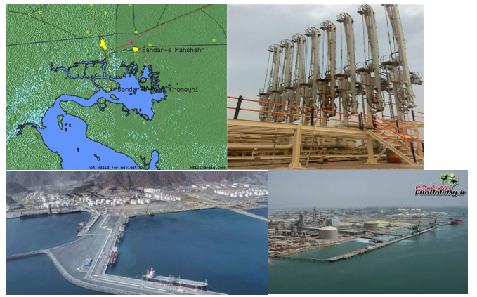
BANDAR MAHSHAHR/NIOC TERMINAL
 30 27′ N 49 20′ E:
Tides: Maximum tidal range is 3.5 Meters.
Admiralty Chart: 1269
Distance from BK: 10.4 Km
BERHTS SPECIFICATION
|
| Length | Draft | Beam |
Jetty No. | Application | Meter | Meter | Meter |
1 | GENERAL CARGO | 200 | 12 |
|
2-5 | OIL PRODUCT | 60 MTRS EACH | 12.50 | 24 |
6 | GAS & CONDENSATE | 60 MTRS EACH | 12.50 | 24 |
7 | OIL PRODUCT Â </ span> | 60 MTRS EACH | 12.50 | 24 |
- Principal Imports & Exports: Oil Products
- Suppliers: National Iranian Oil Co. (NIOC)/ Petroleum Products and Marketing Operations.
- Allocated Berths To Load Fuel Oil : #1 & #2
- Allocated Berths To Load Gas Oil : #2, #3 , #4
- Maximum Loa: 237 M.
- Tides: Maximum Tidal Range Is 3.5 M.
- Tanker Terminals: 6 Berths With Lengths Of 225.5 To 237.7 M.
- Average OIL loading : 1,000 – 3,000 Mt/Hours
- Average GAS loading : 800 mts. With 2 lines
- Max Loaded Quantity: 85,000 Mt (+10%)NB:
1-Jetty No. 1 is used to accommodate general cargo vessels carrying cargo for NIOC. The draft 12 meter. Length 200 meters.
2-The import of E.D.C. for Abadan Petrochemical Co. and G.O., Kerosene and unleaded fuel is carried out through this port.
3- Able to accommodate tankers around 85000 mts dwt.
4- Pilotage is compulsory and carried out from the outer bar to the inner anchorage by BIK pilots (Pilot Position: 29 O 59’N – 49O 04’E). After vessel’s arrival at BIK inner anchorage, NIOC berthing master boards the vessel in order to direct her to B.Mahshahr for berthing.
5- Incoming vessels are met by tugs in the channel, about 1.6 Km below port limits. 2 tugs re used for berthing and un-berthing according to state of tide, etc. Vessels arriving on flood tide, are tuned off the jetties by one tug and berthed Starboard side to jetty with 2 tugs. No anchorage is available at Bandar Mahshahr.